Gubin Hills (coal mines, the former Bismarck tower, the Mountain of Death, the Dębowiec nature reserve)
Tourist attractions
Description
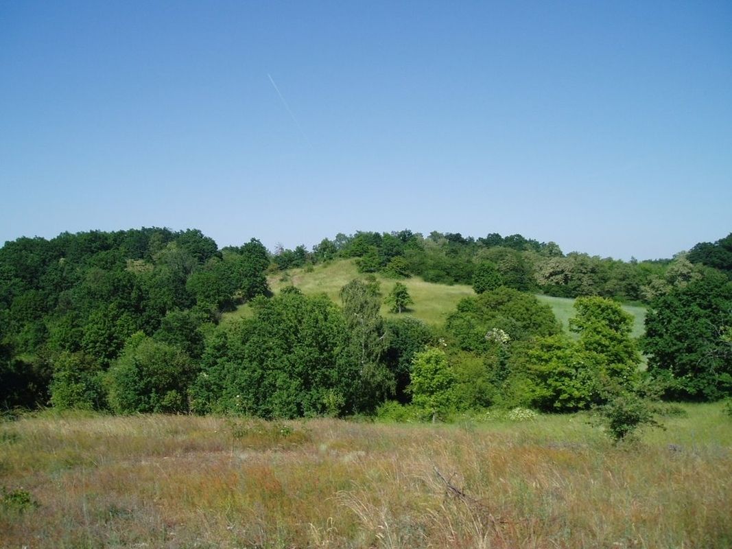
The Gubin Hills (Pol. Wzniesienia Gubińskie, Ger.: Gubener Berge) are classified according to physio-geographical regionalization as an emerging mesoregion in the macrogerion of the Lubuskie Lakeland, one of many areas of the Central European Lowland (classification no. 315.71). They are the eastern hilly element of the Warsaw-Berlin Glacial Valley, reaching a height of 121 m above sea level. - the differences in relative height between individual elevations reach up to 40 m. The terrain consists mainly of humps, mounds, strips, cones and terraces.
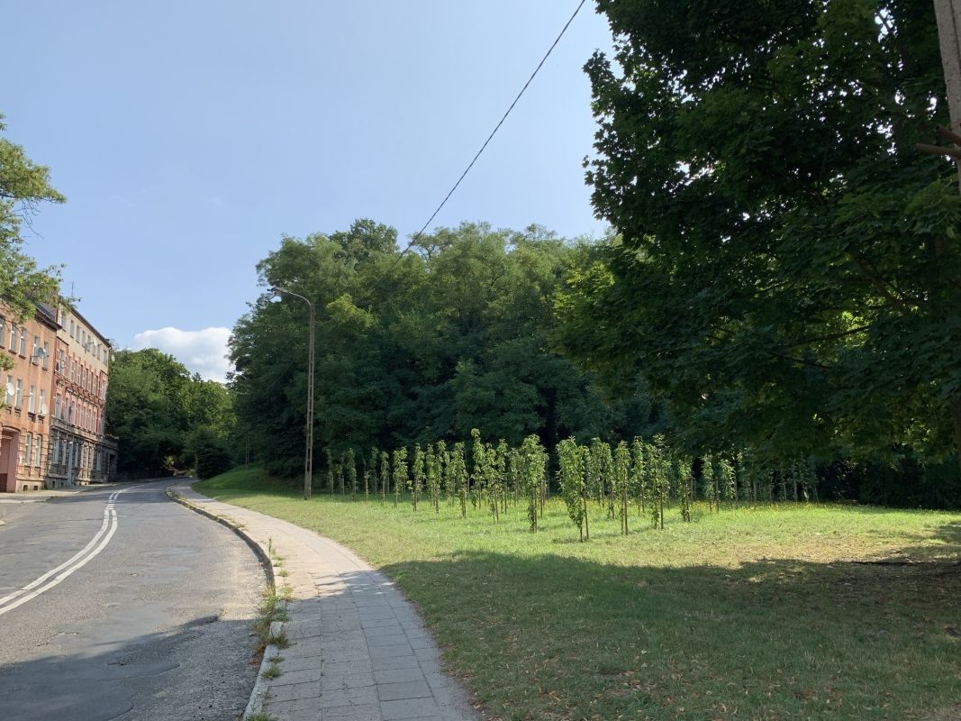
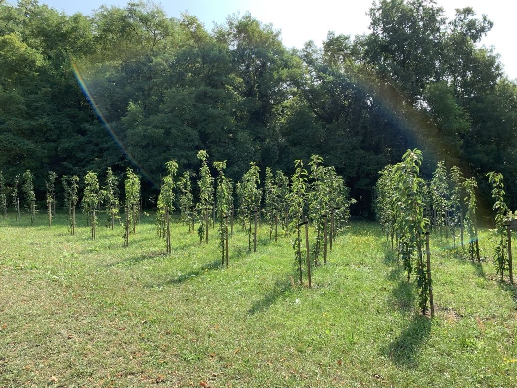
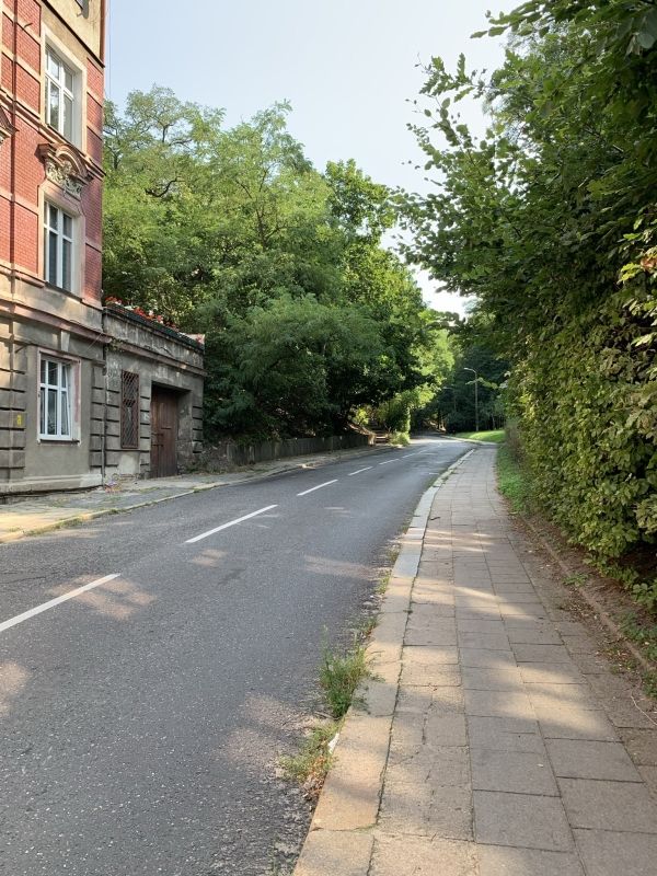
The hills are largely forested (60% of the total area) with conifers and pine trees and covered with a rich network of watercourses (rivers, lakes and swamps). From the highest points of the hill there are some of the most beautiful panoramas of the neighboring Guben and a large part of Gubin. This area, diverse in terms of fauna and flora, borders on the eastern side with the Dębowiec nature reserve, thus offering a wide range of walking, educational and sports paths for runners and cyclists (excluding the reserve).
Historical background
The Guben Hills (Pol. Wzniesienia Gubińskie, Ger.: Gubener Berge) has been one of the most popular green areas of Gubin for centuries, being a frequent place of rest and recreation for the city's inhabitants even before the second half of the 18th century. Until the end of World War II, there were many restaurants, walking paths and a shelter in their vast area. For centuries, this area has been multifunctionally used, including for tourist, fruit-growing, gardening, mining and bricklaying purposes.
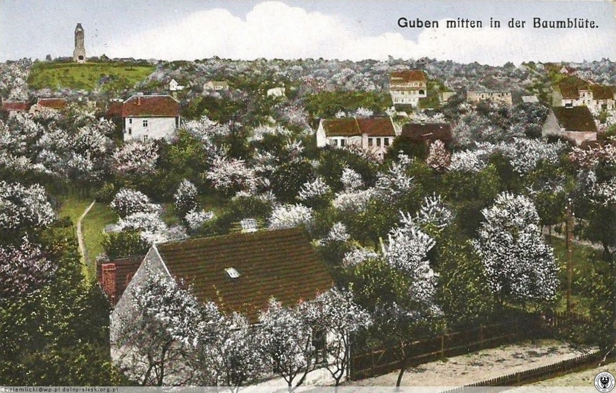
A particularly characteristic element of this place, attracting many tourists at the turn of April and May, were also numerous orchards with fruit trees, established since the 1880s after the production of wine from Gubin grapevines was displaced. Based on the information contained in the official botanical and horticultural inventory from 1880, 121 apple species, 134 species of pears and 73 kinds of plums grew in the hills; in 1929, 10-12 thousand cherry trees, 4 thousand cherries, 3 thousand peach trees, 4 thousand "gubinas" plums and 8 thousand other trees. The fruit was processed by 22 local plants to make juices, sparkling wines and traditional wines.
Due to the climatic and terrain conditions, the area was also used on a large scale for the cultivation of many species of vegetables, which were managed by about 300 plants in Gubin.
Another important branch of exploitation of the Gubińskie Hills was lignite mining, which was carried out until the end of the 19th century. century 11 mines, located between Gubin and Jaromirowice. One of the largest was "Göttes Hilfe" (Polish Divine Help), located on the highest elevation of the area (120.5 m above sea level), near the "Wzgórze" allotment gardens. Due to the deep location of the deposits and thus too high costs of the opencast method used, further maintenance of the plants was quickly abandoned. An equally important local economic function was the extraction and use of good-quality clay from the soil of the Hills, from which various masonry materials, including tiles and bricks, were made for centuries.
On the area of one of the highest peaks of the Gubin Hills, in the years 1908-1945 there was a characteristic Bismark Tower, which was a symbol of honor given to Otto von Bismarck for the reunification of Germany. The facility was built on the initiative of the owner of the printing house, Albert Koenig from Gubin, who commissioned its design to architect Fritz Beyer from Schöneberg near Berlin, and the construction was commissioned to bricklayer Bruno Schneider from Gubin. Internal stairs led to the tower. The tower was 26.7 meters tall and was topped with a viewing platform on which a round fire bowl made of March burned brick was placed. On the day of Bismarck's birth, death, and 100th birthday, the bowl was filled with fire for many hours, visible throughout the city. At the end of World War II, during the fights for the city, the tower was blown up - its remains can still be found.
During the Second World War, the area where the Bismarck Tower stood was also called the Mountains of Death due to the fights that took place there.
Does not apply
Gubin Hills (coal mines, the former Bismarck tower, the Mountain of Death, the Dębowiec nature reserve)
Does not apply
Does not apply
Open 24/7


